Key Points and Summary: The U.S. Air Force is preparing to install a shoebox-sized navigation system on its F-22 Raptors that will allow the stealth fighters to keep flying even if China or Russia knocks out GPS in wartime. Called EGI-M and built by Northrop Grumman, the new system uses gyroscopes and accelerometers to track aircraft movement without satellite signals—solving one of the most dangerous vulnerabilities in modern American airpower.
The F-22 Raptor Won’t Go Blind if GPS Gets Taken Away
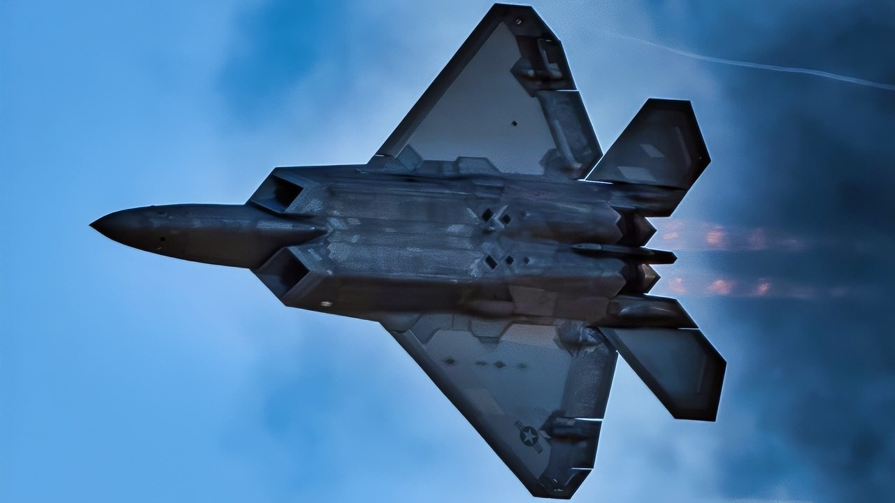
F-22 Raptor Fighter in the Clouds. Image Credit: Creative Commons.
Many weapons developers have, for years, operated under the understanding that one of the first moves a great-power enemy is likely to make in war is to jam or disable GPS.
GPS Tracking
As part of this equation, the Pentagon has been engaged in efforts to identify alternative methods for establishing Positioning, Navigation, and Timing technologies.
These efforts have been based upon the premise that the US military is potentially over-reliant upon GPS.
Should GPS get destroyed in a war, for instance, the US military might lose navigation, targeting, communications systems, and the ability to operate unmanned systems programmed to follow GPS waypoints.
Gulf War
Since the Gulf War, the US military has increasingly developed GPS-dependent drones, satellites, force-tracking systems, and a wide range of weapons.
Blue Force Tracking
While such things as Air Force Joint Direct Attack Munitions and the Army’s GPS-enabled Blue Force Tracking ushered in a new generation of advanced combat operations. Potential adversaries have become adept at closing the large technological gap with the US and at targeting GPS signals themselves.

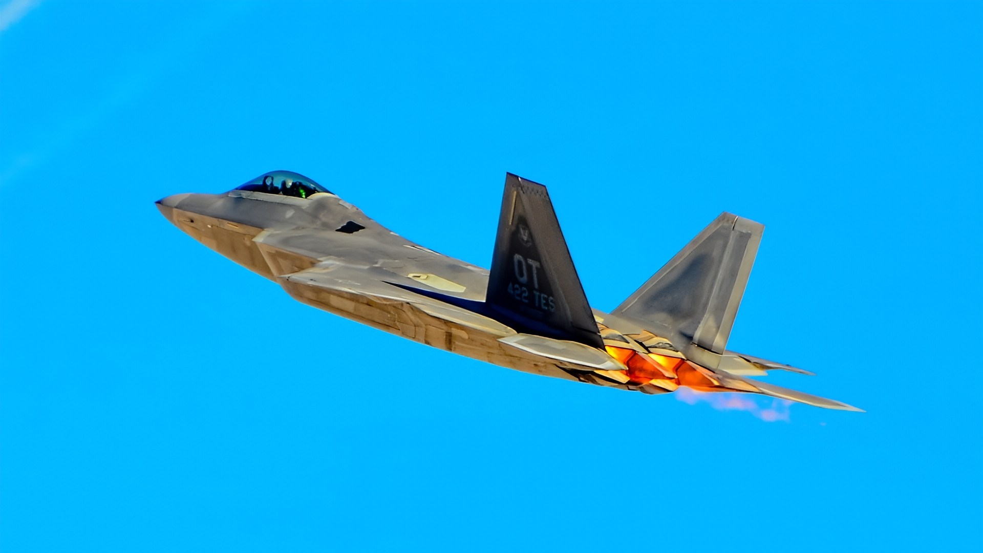
DAYTON, Oh.–An F-22A Raptor from the 1st Fighter Wing conducts flying operations during a solar eclipse, April 8, 2024. The aircraft is from the 27th Fighter Squadron stationed at Joint Base Langley-Eustis, Va. The squadron was conducting dissimilar formation training in unfamiliar airspace.(U.S. Air Force Tech. Sgt. Matthew Coleman-Foster)
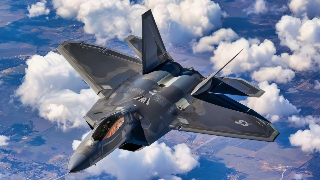
F-22 Raptor Flying High in the Sky Air Force Photo.

A U.S. Air Force F-22A Raptor aircraft flies over Colorado after in-flight refueling by a KC-135R Stratotanker aircraft from the 336th Air Refueling Squadron on May 30, 2006. The Raptor is attached to the 53rd Test and Evaluation Group.
(DoD photo by Tech. Sgt. Rick Sforza, U.S. Air Force. (Released))
This threat has prompted industry and military efforts to prioritize and fast-track technologies capable of performing targeting, force tracking, and communications functions without GPS.
Jamming Techniques
Advanced jamming techniques, electronic warfare, and sophisticated cyberattacks have radically altered the combat equation, making GPS signals vulnerable to enemy disruption.
Accordingly, there is a broad consensus among military developers and industry innovators that far too many essential combat technologies rely on GPS systems.
Weapons targeting, ship navigation, and even small handheld soldier-tracking systems all rely on GPS signals to operate.
Harden & Supplement GPS and PNT Technology
For years now, the Pentagon has pursued a dual-pronged trajectory intended to “harden” GPS itself and also develop innovative non-GPS-reliant PNT technologies for navigation, targeting, and networking. One such promising PNT technology for airborne navigation, developed by Northrop Grumman, called EGI-M, will soon be flying on U.S Air Force F-22s.
“This advanced, resilient PNT receiver allows our U.S. military assets the ability to go where we want to, with the capability we need, at the time of our choosing,” Lt. Col. Chris Grover, U.S. Air Force, said in a statement released by Northrop Grumman.
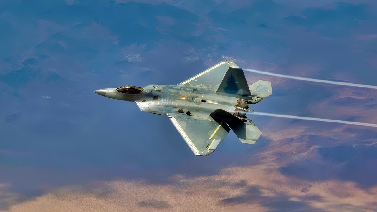
F-22 Raptor Stealth Fighter Flying. Image Credit: Creative Commons.
EGI-M is an emerging, shoebox-sized navigation capability developed to strengthen PNT; accurate PNT details can, of course, help pilots precisely determine where they are in relation to surrounding threats and terrain, and exactly how much they are moving and accelerating through an elaborate, high-tech measurement process.
Northrop’s information on the system describes EGI-M as a “blending” system that combines the hardening of GPS itself with inertial navigation systems capable of generating “reliable” navigation data.
Northrop developers have explained that a navigation system based on inertial measurements from gyroscopes and accelerometers can either start with, supplement, and solidify a GPS signal, or alternatively function independently as needed.
Military Codes
“The military-code PNT system, known as EGI-M, marks a significant advancement in airborne navigation technology by ensuring the reliability of navigation data in conflict zones.
Further advancements include Blended Navigation Assurance, a capability that ensures GPS data is correct and safe, even when it’s threatened,” a Northrop essay on the technology states.
F-22 Integration and E-2D Hawkeye
Planned to first integrate into F-22 jets and E-2D Hawkeye surveillance planes, the box collects data over time, which is continually processed by software that calculates exactly how much the aircraft has accelerated and moved, establishing a specific trajectory, Northrop data explains.
The application of EGI-M, therefore, seems to introduce several new tactical possibilities, such as a scenario in which a Navy Hawkeye E-2D surveillance asset might need to operate with precision in an area where GPS networks are either highly threatened or rendered ineffective.
Furthermore, the tactical relevance clearly extends beyond a single, isolated platform, as the modern operational reality, of course, hinges on massive networking and data sharing.
A Hawkeye’s relevance pertains not only to what it can detect but also to how it can use radio, GPS, datalinks, and other networking technologies to share information of pressing operational significance.
Perhaps a Hawkeye, having solidified its PNT in a hostile area, can radio navigational and targeting positions to nearby fighter jets, Navy ships, or even space assets.
Years ago, during an earlier phase of the technology’s development, Northrop developers explained that the technical details of how EGI-M generates its PNT data are quite complex.
As they pertain to advanced scientific principles, software and computer technology are able to calculate essential “measurements” of movement, acceleration, and position changes.
Northrop developers said “gyroscopes and accelerometers” can track the movement of an object according to established laws of physics.
About the Author: Kris Osborn
Kris Osborn is the Military Technology Editor of 1945. Osborn is also President of Warrior Maven – Center for Military Modernization. Osborn previously served at the Pentagon as a highly qualified expert in the Office of the Assistant Secretary of the Army—Acquisition, Logistics & Technology. Osborn has also worked as an anchor and on-air military specialist at national TV networks. He has appeared as a guest military expert on Fox News, MSNBC, The Military Channel, and The History Channel. He also has a Masters Degree in Comparative Literature from Columbia University


Donald Forcash
May 4, 2026 at 1:44 pm
Always wondered why a back-up or primary system has not been developed to use precise world-wide electronic topographical maps and specialized radar for navigation from the air. I suspect one challenge with PNT data is measuring velocity, acceleration, magnetic compass direction, and pressure-based altitude is the net position error would be cumulative without the ability to recalibrate intermittently to absolute fixed positions. Using known terrain maps would consistently be self-correcting because topographical features are unique and it’s not like you can move a river or a mountain.
xi-xi-xi-xi
May 4, 2026 at 6:26 pm
(xi-xi-xi-xi = die-die-die-die.)
So, the eldered elderly but still amazing f-22 is being equipped with this jam-proof EGI-M thingamajig.
But will it obey Gregory gagnon’s instruction to disable or thwart china’s sayellite assets.
Unlikely. The EGI-M won’t disable even one of those satellites now keeping an eye over the western Pacific.
Probably, the EGI-M will allow the f-22 to launch a HACM missile, or a agm-88 missile, but such launches will surely ignite ww3.
So, what’s the purpose of using elderly fighter jets to kickstart a global war.
Might as well use b-1 bombers. And Ohio dubs. And US Marines from Okinawa.